
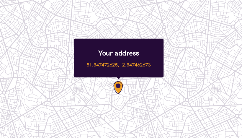
Geocoding has become an essential tool for various industries, allowing businesses to convert addresses into geographic coordinates. While traditional geocoding techniques provide accurate results, advanced geocoding techniques take it a step further. In this article, we will explore advanced geocoding techniques that utilize additional data and customization to enhance the geocoding process.
From incorporating points of interest to building customized api geocoding, these techniques offer valuable insights and improved accuracy. Whether you are a developer or a business owner, understanding these advanced geocoding techniques can help you optimize your location-based services.
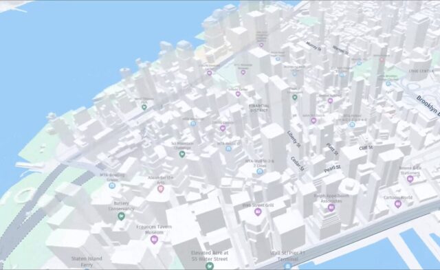
Geocoding with POI Data: Incorporating Points of Interest for Enhanced Results

Geocoding with Points of Interest (POI) data is a powerful technique that can significantly improve the accuracy and relevance of geocoding results. Points of Interest refer to specific locations such as restaurants, hotels, or landmarks that hold significance in a given area. By incorporating POI data into the geocoding process, businesses can obtain more precise coordinates and gain insights into the surrounding environment.
To geocode with POI data, developers can utilize APIs that provide POI information along with geocoding services. These APIs often include a vast database of points of interest, allowing developers to retrieve coordinates along with additional information such as category, rating, or user reviews. This integration of POI data enables businesses to offer enhanced location-based services, such as personalized recommendations or targeted marketing campaigns. For example, a restaurant owner can geocode their customer addresses and identify nearby popular attractions to tailor their marketing efforts accordingly.
Moreover, geocoding with POI data can be particularly beneficial in scenarios where traditional geocoding may fall short. For instance, when dealing with addresses that are ambiguous or less precise, incorporating POI data can help determine the most accurate coordinates. This technique can also assist in cases where addresses are incomplete, as the POI data can provide context and fill in missing details. By leveraging the power of POI data, businesses can elevate their geocoding capabilities and deliver more accurate results to their users.
Custom Geocoding: Building and Managing Customized Geocoding Databases
While traditional geocoding relies on pre-existing databases, custom geocoding offers the flexibility of building and managing your own geocoding databases. This advanced technique allows businesses to tailor the geocoding process to their specific needs, resulting in improved accuracy and efficiency.
Building a customized geocoding database starts with collecting and organizing data relevant to your business or industry. This data can include addresses, landmarks, or any location-based information that is unique to your application. Once the data is gathered, it needs to be processed and geocoded using specialized tools or APIs. This process involves assigning accurate coordinates to each location entry, ensuring precise geocoding results.
The advantage of custom geocoding lies in its ability to cater to specific requirements. For example, if you are a logistics company, you can build a customized geocoding database that considers factors such as truck accessibility, loading docks, or weight restrictions. This level of customization allows for more accurate routing and optimized logistics operations. Similarly, real estate companies can build custom geocoding databases that incorporate property-specific information, enabling them to offer tailored search results to their clients.
Managing a customized geocoding database involves regular updates and maintenance. As new locations or data become available, it is essential to update the database to ensure accurate geocoding results. Additionally, data quality checks and verification processes should be implemented to prevent errors or inconsistencies. By investing in building and managing a customized geocoding database, businesses can achieve higher accuracy and deliver more personalized location-based services.
Multi-modal Geocoding: Considering Transportation Modes and Accessibility Factors
Traditional geocoding techniques often overlook transportation modes and accessibility factors, resulting in inaccurate or inefficient routing. Multi-modal geocoding addresses this limitation by considering different transportation modes and accessibility factors, enabling businesses to optimize their routing and logistics operations.
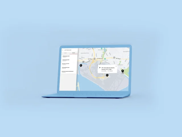
When geocoding with multi-modal capabilities, developers can incorporate data on transportation networks, such as roads, public transportation, or bike lanes. By analyzing this data, the geocoding algorithm can determine the most efficient routes based on the chosen transportation mode. For example, a delivery company can utilize multi-modal geocoding to optimize its delivery routes, taking into account factors like traffic congestion, road restrictions, or public transportation schedules. This technique not only saves time and resources but also enhances customer satisfaction by providing accurate delivery estimates.
In addition to transportation modes, multi-modal geocoding also considers accessibility factors. This includes information about wheelchair ramps, elevators, or designated parking spaces. By factoring in accessibility, businesses can ensure their services are accessible to all users, regardless of their mobility requirements. For instance, a ride-sharing platform can utilize multi-modal geocoding to identify wheelchair-accessible routes and offer tailored transportation options for users with disabilities.
By adopting multi-modal geocoding techniques, businesses can optimize their operations, reduce costs, and provide better services to their customers. Whether it’s improving delivery logistics or enhancing accessibility, multi-modal geocoding offers a comprehensive solution for location-based services.
Address Parsing and Standardization: Extracting Address Components for Fine-grained Geocoding
Address parsing and standardization is an essential technique in advanced geocoding that involves extracting address components and standardizing them for accurate geocoding results. This technique allows businesses to achieve fine-grained geocoding by analyzing individual address elements.
Address parsing involves breaking down an address into its constituent parts, such as street name, city, state, and postal code. This process can be challenging, especially when dealing with addresses that may contain variations or unconventional formats. However, by utilizing address parsing algorithms and libraries, businesses can extract the necessary components and ensure consistency in their geocoding data.
Once the address components are parsed, standardization comes into play. Standardization involves formatting the extracted address components according to predefined rules or standards. This step ensures that the address data is uniform and can be accurately geocoded. Standardization algorithms can handle variations in address formats, abbreviations, or misspellings, reducing the chances of errors during the geocoding process.
Fine-grained geocoding achieved through address parsing and standardization offers several advantages. For instance, businesses can analyze specific address elements to gain insights into customer demographics or market trends. By understanding the distribution of addresses within a particular region, businesses can make data-driven decisions and develop targeted marketing strategies. Additionally, fine-grained geocoding enables businesses to provide accurate location-based services, such as proximity-based search results or localized recommendations.
Advanced geocoding techniques offer valuable insights and enhanced accuracy for businesses and developers. Geocoding with POI data, custom geocoding, multi-modal geocoding, and address parsing and standardization are just a few examples of these advanced techniques. By incorporating these techniques into their geocoding workflows, businesses can optimize their location-based services, improve operational efficiency, and deliver personalized experiences to their users.


